Thred™ August 2026 Release
Relive your routes in 3D, see what's burning before you drive to the trailhead, and share your adventures without ever sharing your address.
The adventure, replayed. The conditions, mapped.
This release is about what happens on either side of the adventure — knowing what you're heading into before you go, and having something worth watching when you get back.
Relive It in 3D
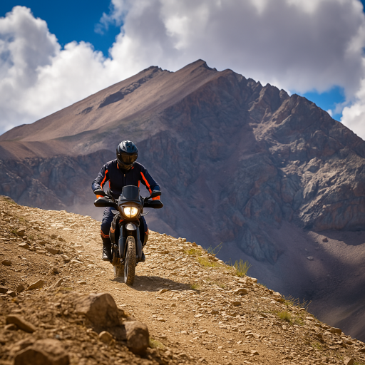
Every adventure you record can become a cinematic flyby — a 3D fly-through of your actual route, with the camera hugging real terrain. Every switchback, every climb, rendered the way you experienced it.
Play a flyby right from a feed card, share it with your crew, and choose whether one gets generated every time you save a recorded route.

Fire Season, Mapped
Two new map layers put wildfire awareness on your map. Fire Perimeters shows active fire boundaries. Smoke shows both observed smoke and the forecast, with time controls to scrub ahead.
Check what's burning and where the smoke is headed before you commit to a trailhead — not after you've already driven two hours to get there.


Fire perimeters and smoke — observed and forecast — with time controls to scrub ahead.
Everything Else in 1.9.2
The rest of what shipped this release, grouped by where you'll find it.
Mapping
- A contour lines layer brings full topographic detail to every basemap — spacing, steepness, and elevation at a glance.
- A redesigned activity screen with a cleaner stats layout, accurate elevation profiles, and a perspective map view that renders your route in 3D context.
- The map camera can follow you as you move, so your hands stay on the bars and your eyes stay on the trail.
- Saved route details travel with you — stats, descriptions, and maps work with zero bars, and elevation figures stay accurate offline because the correction data ships inside the app.
Planning
- Import routes from any app that exports GPX, TCX, or KML.
- Share a route file to Thred from any other app and it lands in your routes, ready to view.
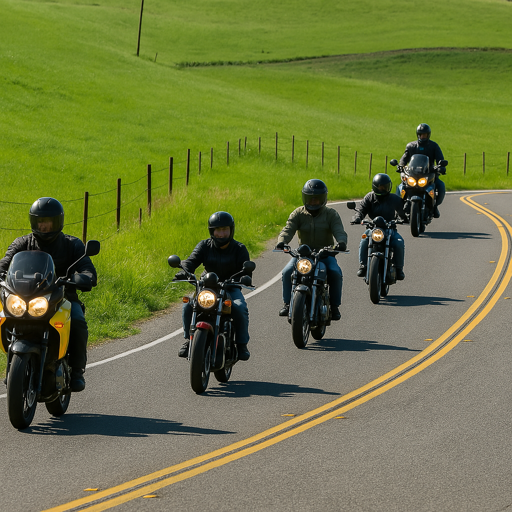
- Adventure post overviews now speak your activity's language — a motorcycle ride gets pace, surface, and hazard notes for riders; a trail run gets runner's beta.
- Save a weather forecast and link it to a saved route — it stays attached no matter how you reorder your lists.
- The saved routes list has sort controls, so you can order your library the way you think about it.
Privacy
- Set the radius of each Private Location yourself, from about an eighth of a mile to a full mile.
- Every GPX export is trimmed around your Private Locations, no matter which screen you export it from. GPX export is part of the Explorer plan; Private Locations are free.
- Route stats report the distance and elevation of the track you actually shared.
- A route that starts inside a Private Location never generates a flyby.
Groups & Connect
- Send a connection request straight from an adventure post's crew list, with a clear “Sent” status you can tap to cancel.
- Comment on route and gallery photos right in full-screen view.
Accessibility
- Every icon-only control announces itself to VoiceOver and TalkBack.
- Chips and choices announce whether they are selected.
- Tap targets meet the platform 48-pixel minimum.
- The navigation bar scales with your system text size instead of clipping.
Built for Every Adventurer
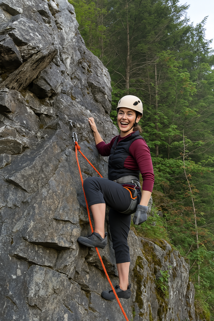
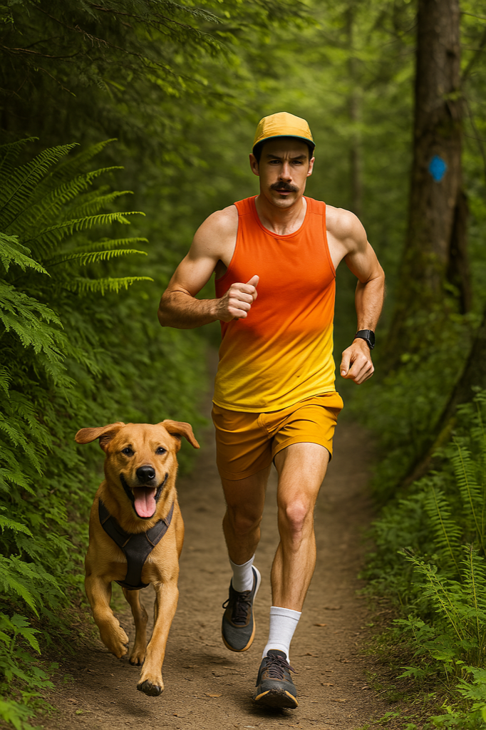
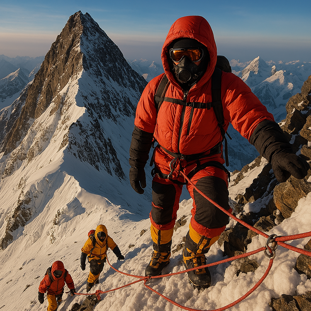
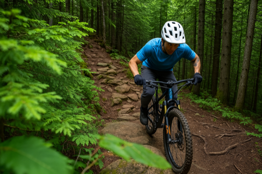
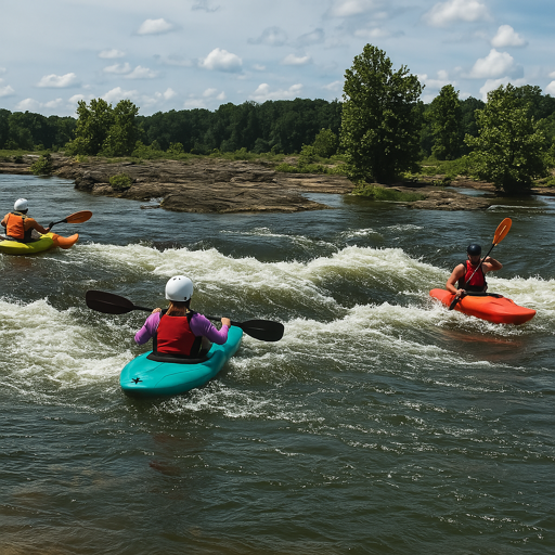
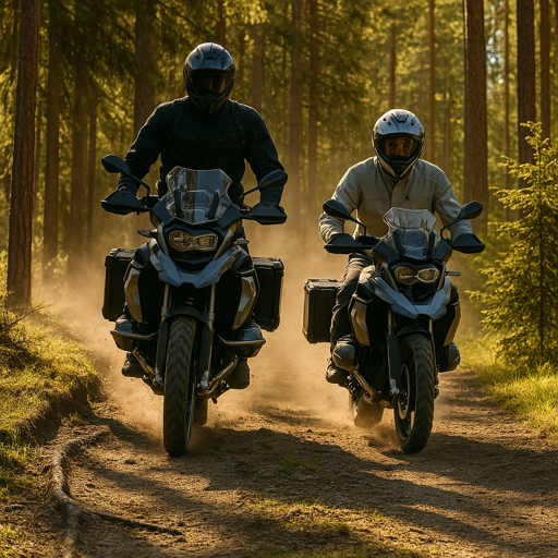
Every sport, every skill level, every trail. The Thred™ community is as diverse as the outdoors itself.